
Custer State Park
The past year has been so busy that I’m finally getting to “play” with the images we created last fall on our road trip to South Dakota. One of the many amazing places that we visited on that trip certainly had to be Custer State Park!
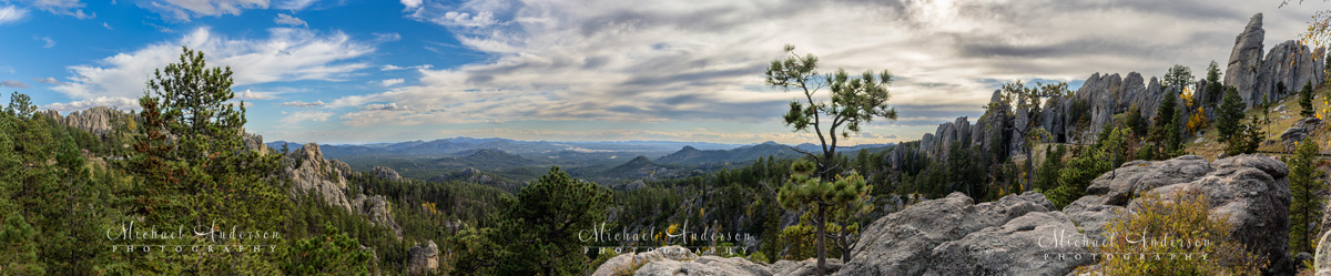
This stunning panorama is one of many amazing vistas found on the Needles Highway. I took a total of 27 images to create this panorama! In post-production, I stitched them together to create the high-definition panorama.
At over 70,000 acres, Custer State Park is South Dakota’s largest, and it was also its very first state park. Located in aptly named Custer County, it serves as both a state park and a wildlife reserve in the Black Hills. The park is named after Civil War commander Lieutenant Colonel George Armstrong Custer.
It’s weird, but in all my years as a native Minnesotan, I had never ventured to South Dakota. I’d been close a few times, but never actually went there. Now, after spending a couple of weeks traveling all over the state, I’m kind of disappointed that I hadn’t visited earlier. It’s a pretty remarkable place to visit!
Sylvan Lake Lodge
What got this entire road trip to South Dakota in motion was the wedding of our Goddaughter, Kristin, to her fiancé (now husband), Turner. Their stunning destination wedding was held at beautiful Sylvan Lake Lodge right there in Custer State Park in South Dakota.
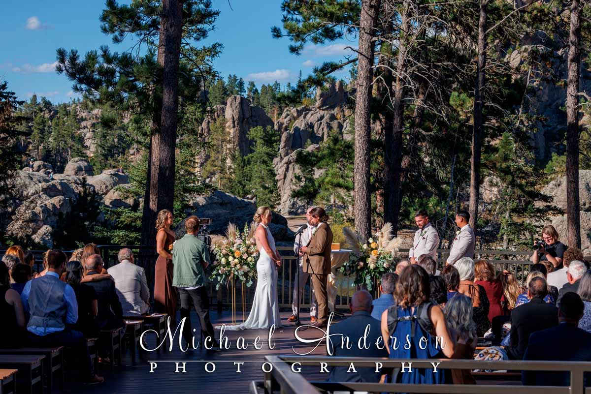
A spectacular destination wedding location!
Kristin’s parents, Kathy and Jeff, asked us if we could be their “personal attendants” and help out with transporting things from Minnesota to the wedding, and then assist them that weekend.
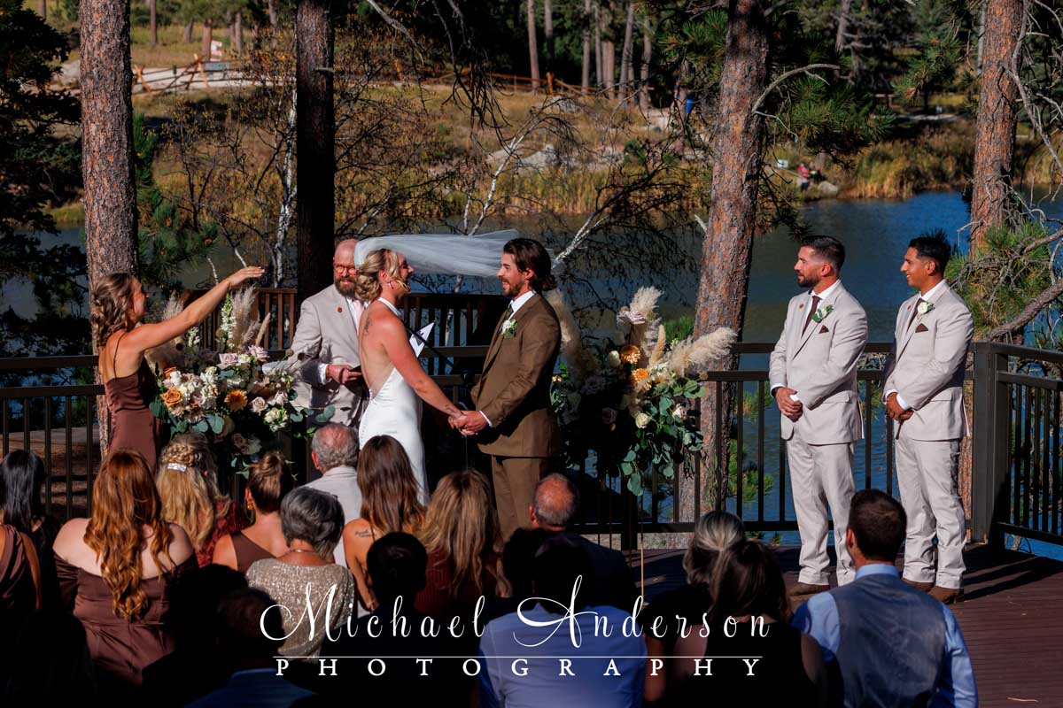
Kristin’s veil “takes off” during their wedding vows at Sylvan Lake Lodge.
Kristin and Turner also asked me if I would be willing to take candid photographs to document their wedding. Since I have a little bit of experience with wedding photography, of course, I said, “Yes!”
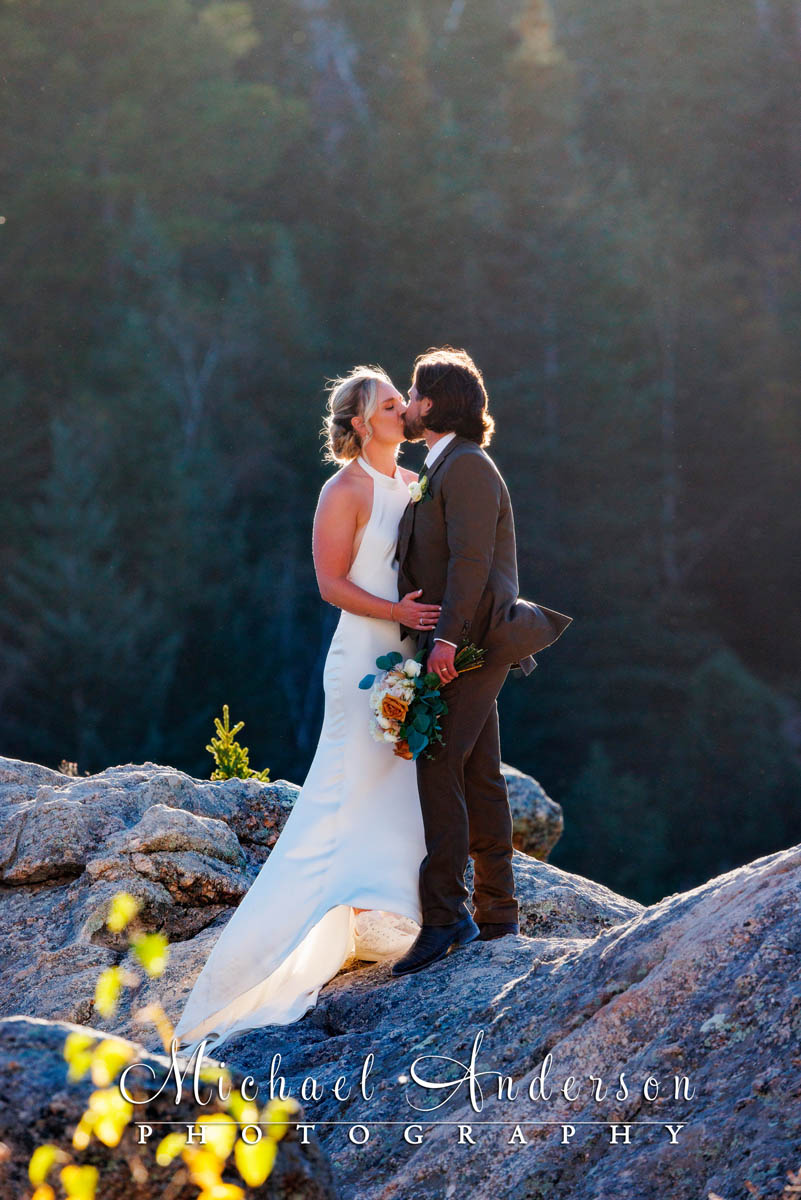
A pretty candid wedding photo of Turner and Kristin on the rock formations at beautiful Sylvan Lake.
Iron Mountain Road
A few days before the wedding, we arrived in the Custer State Park area from nearby Keystone. So we drove on Iron Mountain Road first (also known as US-16A). This would be the first of several trips we would take on this scenic roadway, as well as on the nearby Needles Highway.

The wooden pigtail bridges found on Iron Mountain Road are amazingly engineered structures.
Iron Mountain Road and the Needles Highway are two world-famous, and closely connected, scenic drives in the Black Hills of South Dakota. They’re part of what is known as the Peter Norbeck National Scenic Byway. Both routes feature narrow granite tunnels, tight hairpin turns, and remarkable engineering designed to showcase the rugged landscape.
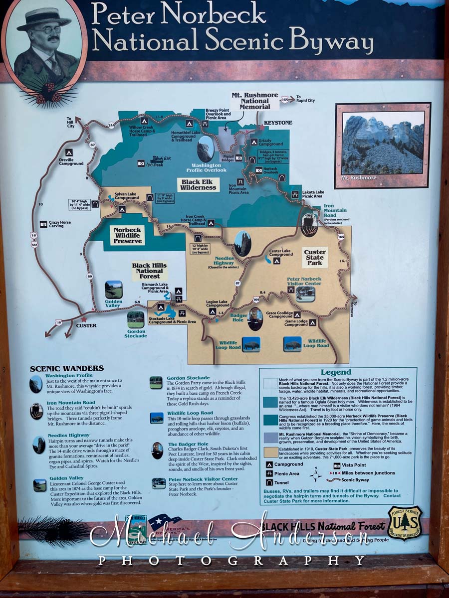
One of the roadside maps on the Peter Norbeck National Scenic Highway.
Iron Mountain Road is “just” 17 miles long and supposedly takes about 45 to 60 minutes to drive. Yeah right!
If you’re anything like us, you’re going to be on that road a whole lot longer than that! You’ll be pulling over to take photos and savor the amazing scenery all along the way!
Those 17 miles are packed with 314 curves! Along the way, 3 cool wooden “pigtail” bridges loop over the road. And, there are three narrow rock tunnels that perfectly frame Mount Rushmore as you drive through them!
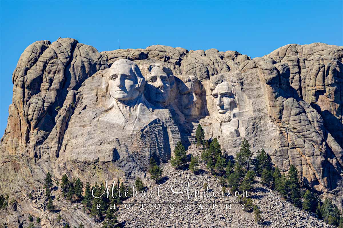
Besides the 3 “tunnel views”, Mount Rushmore can be enjoyed from several other locations along the scenic Iron Mountain Road. I used a long telephoto lens to capture this image of the world-famous sculpture from Iron Mountain Road.
The entire road is a marvel of engineering and part of a truly unforgettable journey through that portion of the Black Hills of South Dakota.
The Iron Mountain Tunnels
The Iron Mountain Road route connects Custer State Park to the Mount Rushmore National Memorial area. One of the many amazing features of this iconic road trip is its three tunnels on the route.
These cool tunnels were built back in the 1930s. They are amazing feats of engineering and are named the Doane Robinson Tunnel, the Scovel Johnson Tunnel, and the Cressey D. Lawrence Gibbons Tunnel. By far, in my opinion, the coolest thing about each tunnel is that they are precisely aligned to frame Mount Rushmore as motorists exit each one!
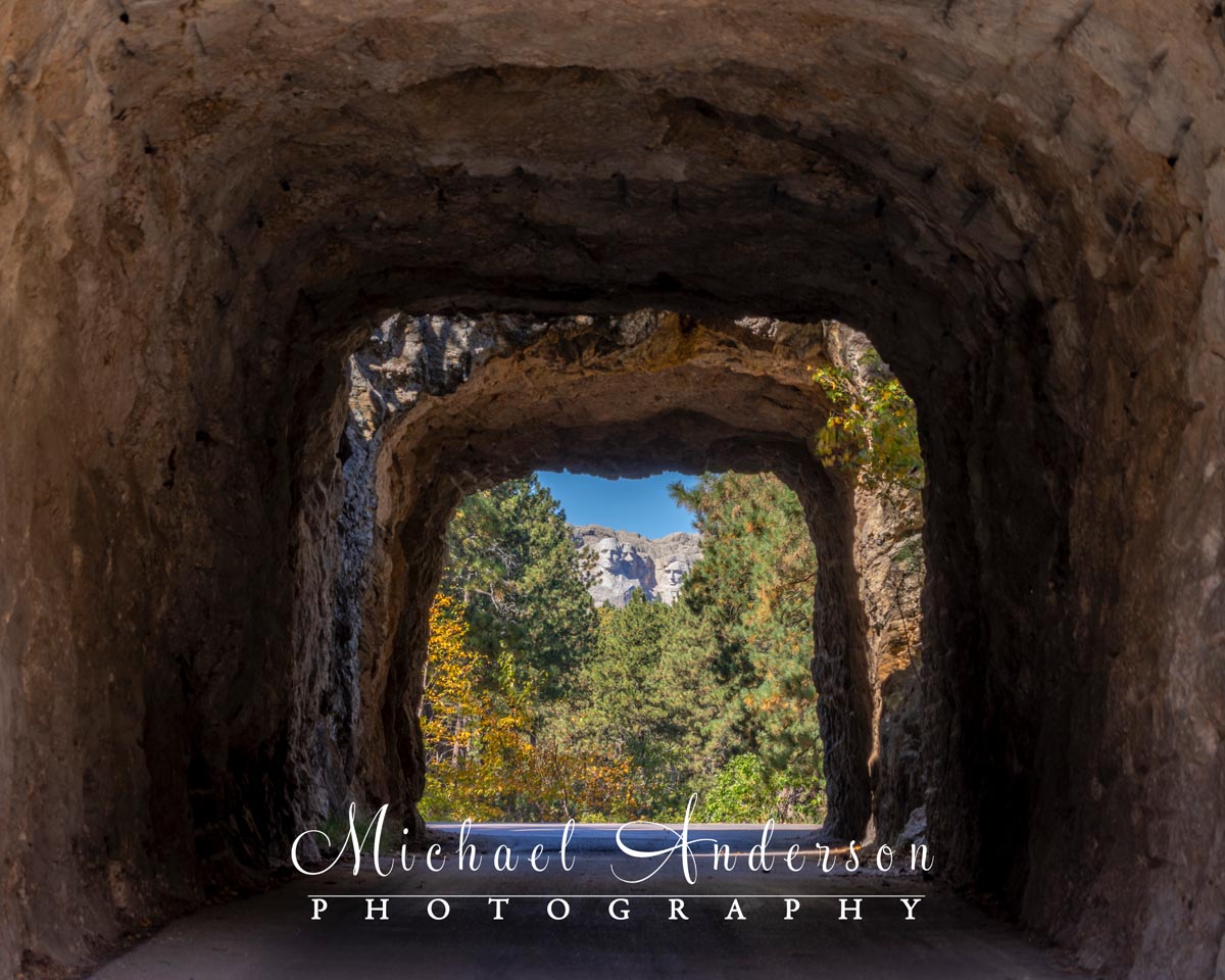
Mount Rushmore lines up beautifully in one of the three Iron Mountain Road tunnels.
They recommend driving it from south to north for optimal viewing. Since we arrived from the north, I guess we did it “backwards”, but it didn’t take away from the experience at all. Several times, especially in those 3 amazing tunnels found along the route, we just turned around and went through them in each direction (usually more than once)! We frequently got out of the car to look around and take photos and videos (lots of them), too!

The six tunnels along both Iron Mountain Road and the Needles Highway are so cool!
The Needles Highway

This is the amazing view from the “Needles Eye” parking lot!
As we mentioned earlier, the Iron Mountain Road and the Needles Highway are actually connected.
Just like Iron Mountain Road, the Needles Highway is a place that you have to see to believe! Completed way back in 1922, the roadway’s entire course was meticulously planned by former South Dakota Governor Peter Norbeck. He did all of that route planning on foot and by horseback!
This amazing “highway” is an incredible 14-mile scenic drive through beautiful forests and meadows, as well as spectacular mountain views. The road’s name comes from the thousands of needlelike granite formations that you’ll encounter all along the highway.
The Famous “Needle’s Eye”
The Needles Highway features dozens of hairpin curves, and three of its own hand-carved granite tunnels –Iron Creek, Needles Eye, and Hood. The drive also features hundreds and hundreds of huge granite spires! One of those spires, located very near beautiful Sylvan Lake, is named “Needle’s Eye” due to its needle-like opening that was created by years and years of wind, rain, freezing, and thawing.
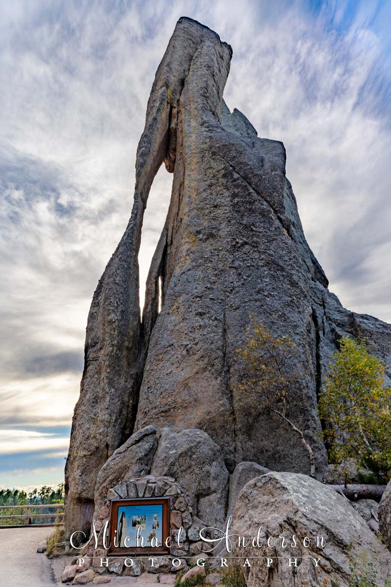
The famous “Needles Eye” rock formation.
All the while, you’ll be driving through pine and aspen forests and other areas with birch and aspen trees. We just happened to be there during fall colors, which made the entire area even more spectacular! We took this amazing roadway, both directions, multiple times on our trip!
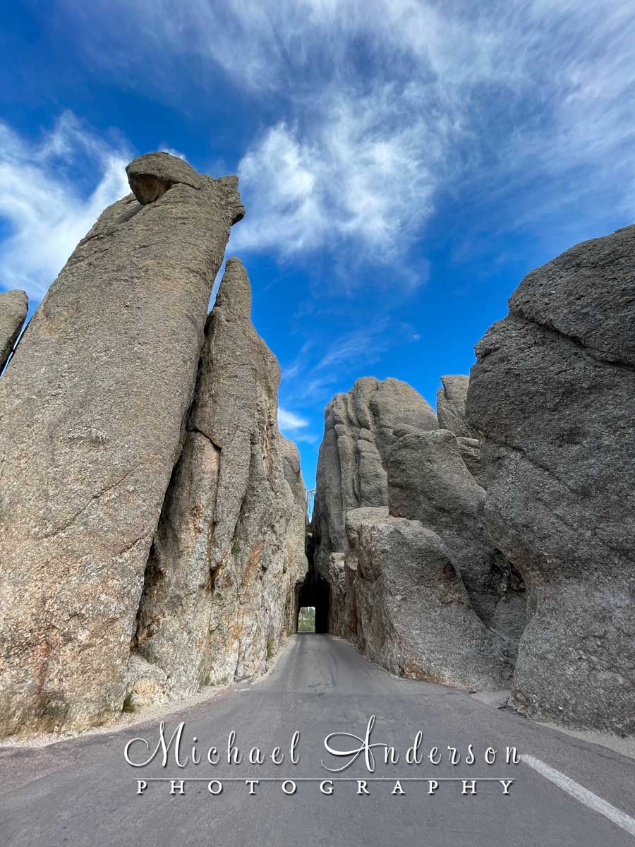
Our vehicle barely fit into the “Needles Eye” tunnel! Yes, it’s that narrow! Cars have to take turns going in either direction.
Going Home Presents
The night before we were to leave for home, Joannie and I just had to take one more drive on the Needles Highway. And Mother Nature gave us an amazing send-off with this double-rainbow! I got fairly wet capturing this from near the Needles Highway Tunnel, but this pretty image was worth it!
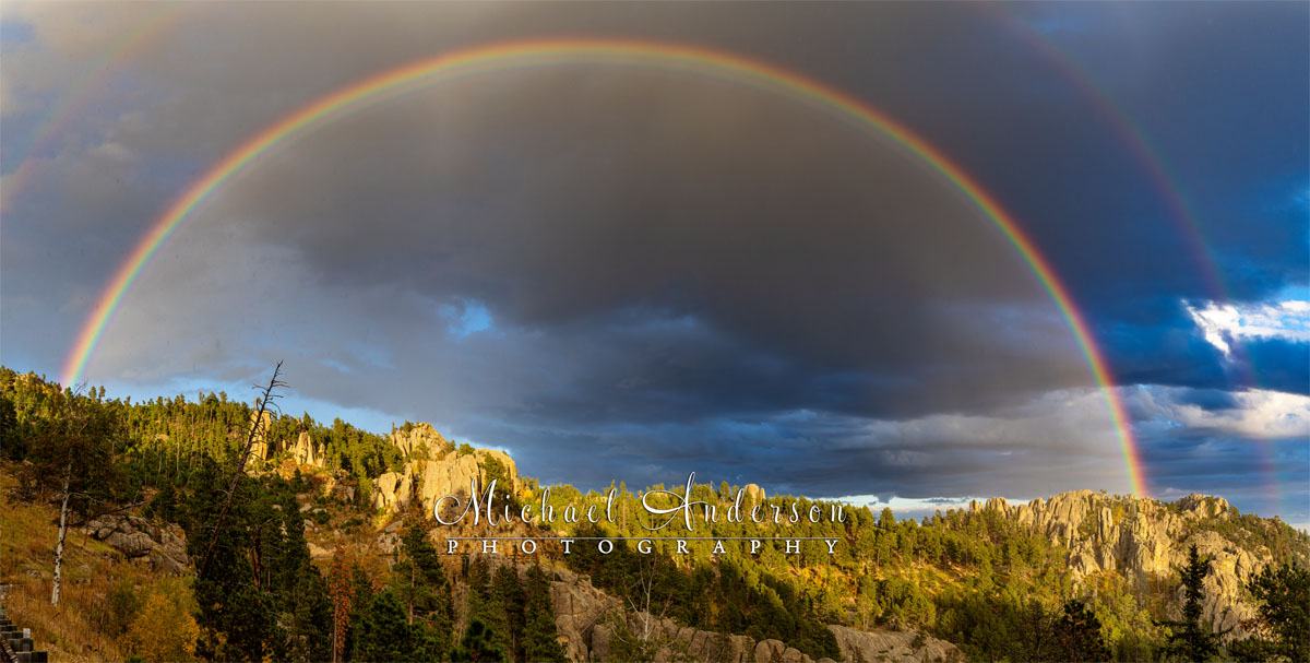
A spectacular double-rainbow on the Needles Highway in Custer State Park!
Since we were on the east-end of the tunnel for the double-rainbow, we knew that the sunset might be pretty amazing on the west-facing side. So, we hopped back in the car (wet) and drove over to the other side to see yet another stunning sight that night!
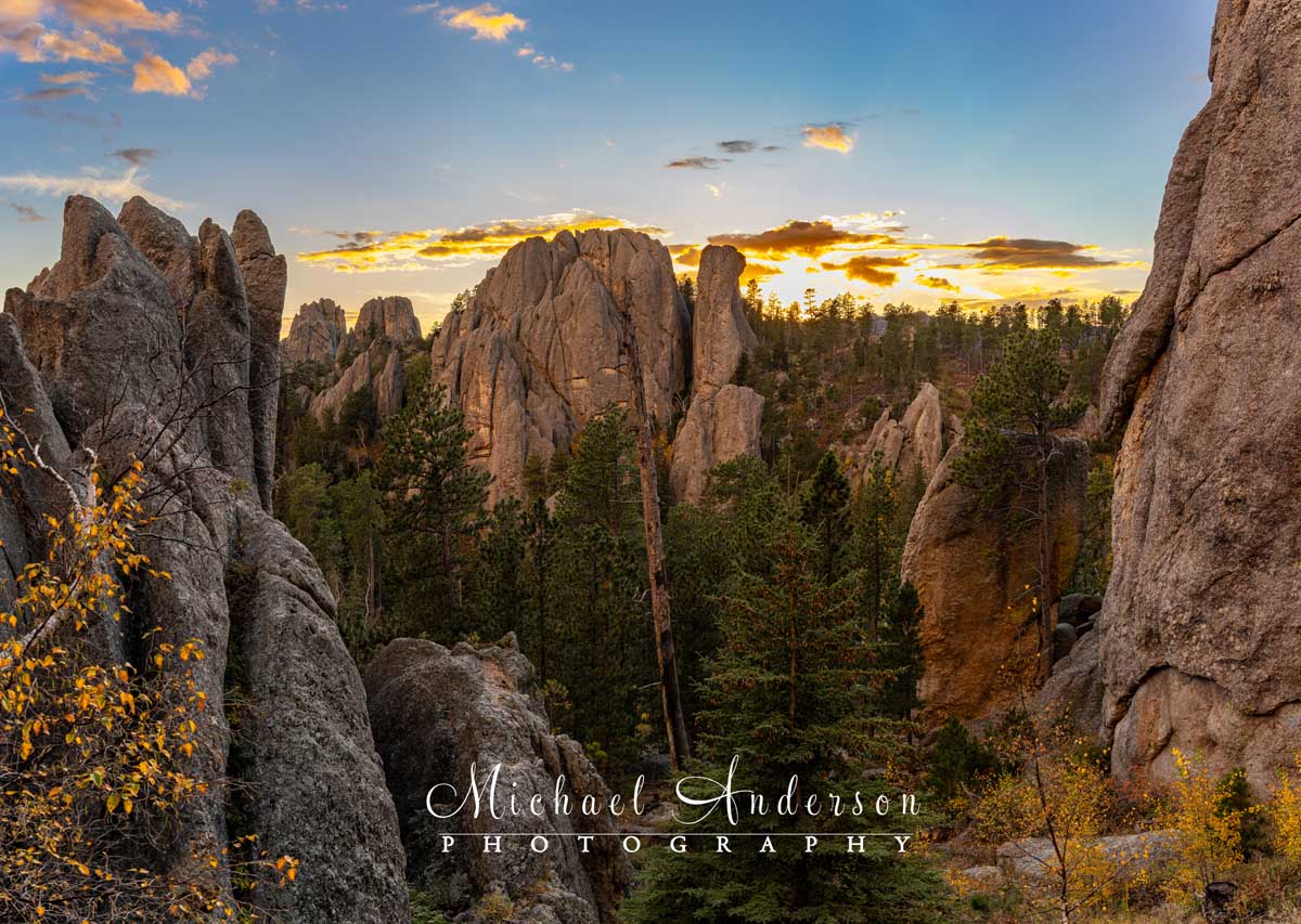
Shortly after the rainbow left us, we drove back through the Needles Tunnel to enjoy this spectacular sunset! This pretty vista is literally right in the small “Needles Eye” parking lot!
Wildlife Loop Road
Wildlife Loop Road is well-known for wildlife viewing, such as a free-roaming herd of well over 1,000 bison! There are also wild donkeys (they will come right up to your car to beg for food!), elk, pronghorn, bighorn sheep, and mountain goats, to name just a few. We did indeed see many of those animals on our 18-mile drive that meanders through the park’s open grasslands.
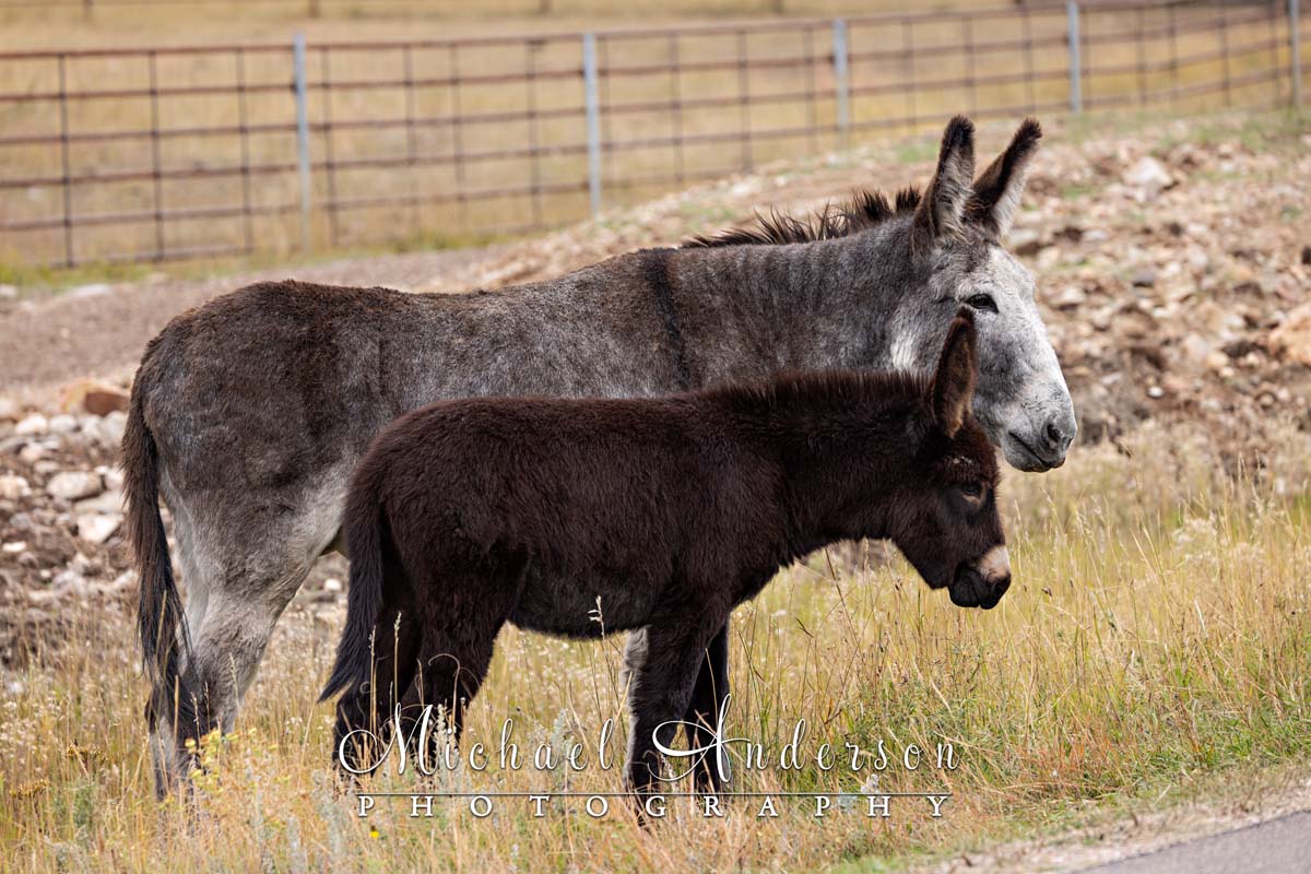
Here are a couple of the wild donkeys that we encountered on the Wildlife Loop Road. They had no problem walking right up to cars to beg for food.
Earlier in the week, on our first time through Wildlife Loop Road, I was disappointed that we didn’t see any of the bison that were supposedly in the area. While I realize that Custer State Park is HUGE, and the bison are free to roam, I still wanted to see (and photograph) them!
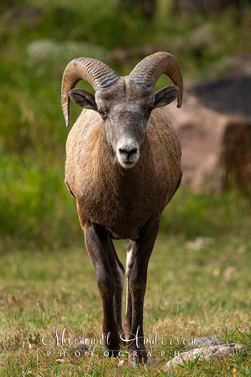
I was caught in a stare-down with this Bighorn Sheep. He eventually got bored with me and ran off.
Our second time on the Wildlife Loop Road was a much different experience! Just after our encounter with the wild donkeys, we drove up over a hill, and on the other side, there they were: hundreds of American Bison!
Bison, Bison, and More Bison!

This is just a small portion of the large herd of bison that we saw that day on the Wildlife Loop Road.
The Custer State Park Bison Center is located at the Buffalo Corrals. The center offers great exhibits on the herd’s history and management. It’s also the headquarters for a yearly event that draws 20,000 to 25,000 people!
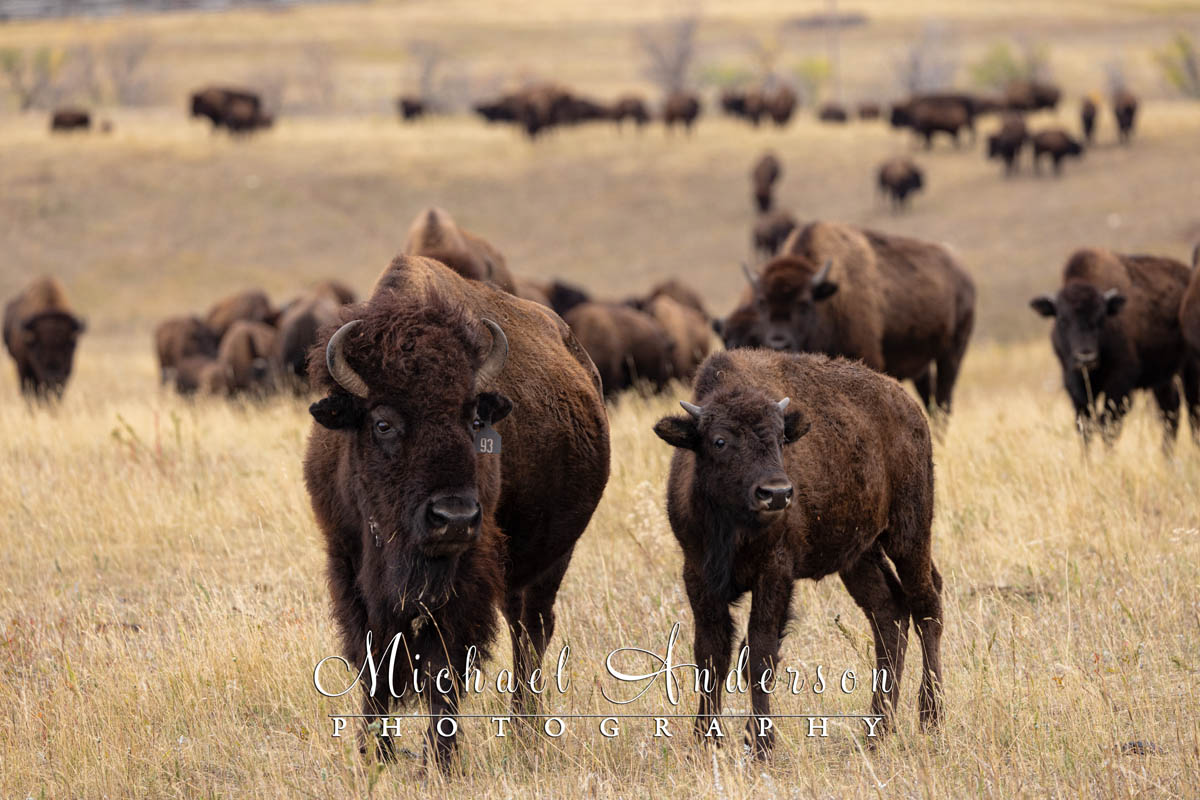
Here’s a close-up of a pair of bison with more of the herd in the distance.
Every year, they hold the famous Custer State Park Buffalo Roundup. Joannie and I missed this annual event by just a week. It would have been cool to witness this spectacle. Maybe someday!
The annual Custer State Park Buffalo Roundup is held on the last Friday of September. The cowboys and cowgirls round up the entire herd to weigh, brand, check the health of, and sort the animals.
Safety Guidelines for Viewing Bison
It goes without saying that bison are very large, wild animals, and they can be dangerous. Stay at least 100 yards (the length of a football field) away from bison at all times, or, even better, remain inside your vehicle.
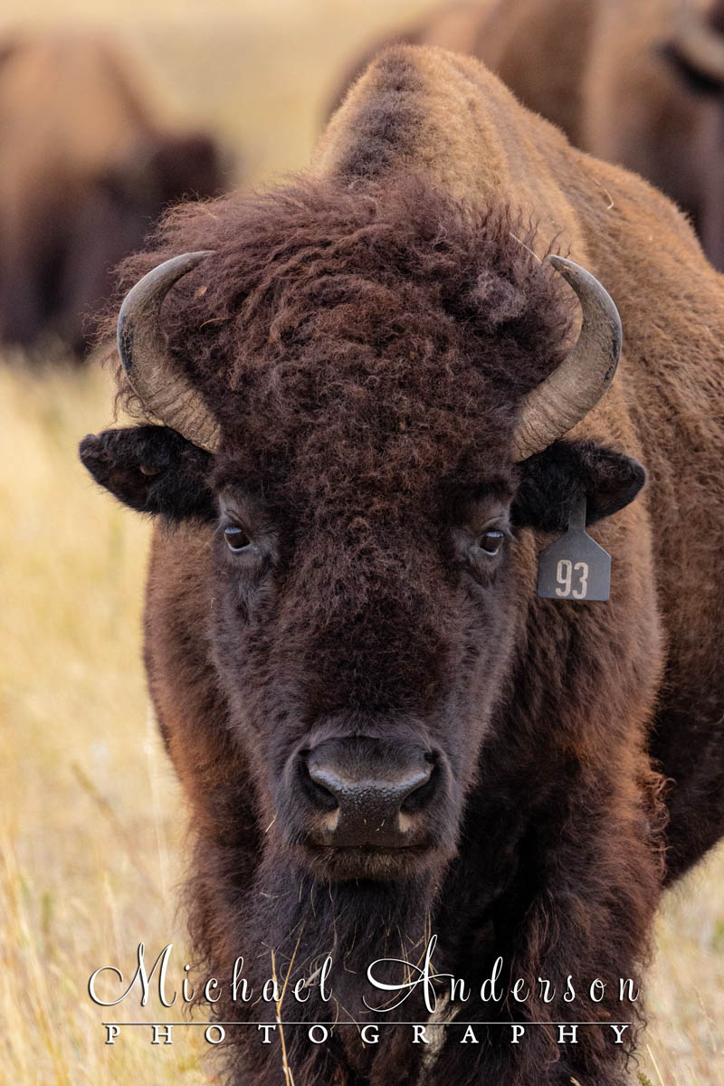
Yep, I take portraits of bison (from long range using a very long telephoto lens)! This guy’s a big one, too!
Bulls can weigh up to 2,000 pounds, and they can run up to 35 mph! You simply cannot outrun them! Please use common sense to keep both you and the bison safe. In the photographs that you see here, I used a very long telephoto lens and had a large fence between the herd and me!
Photos of Sylvan Lake
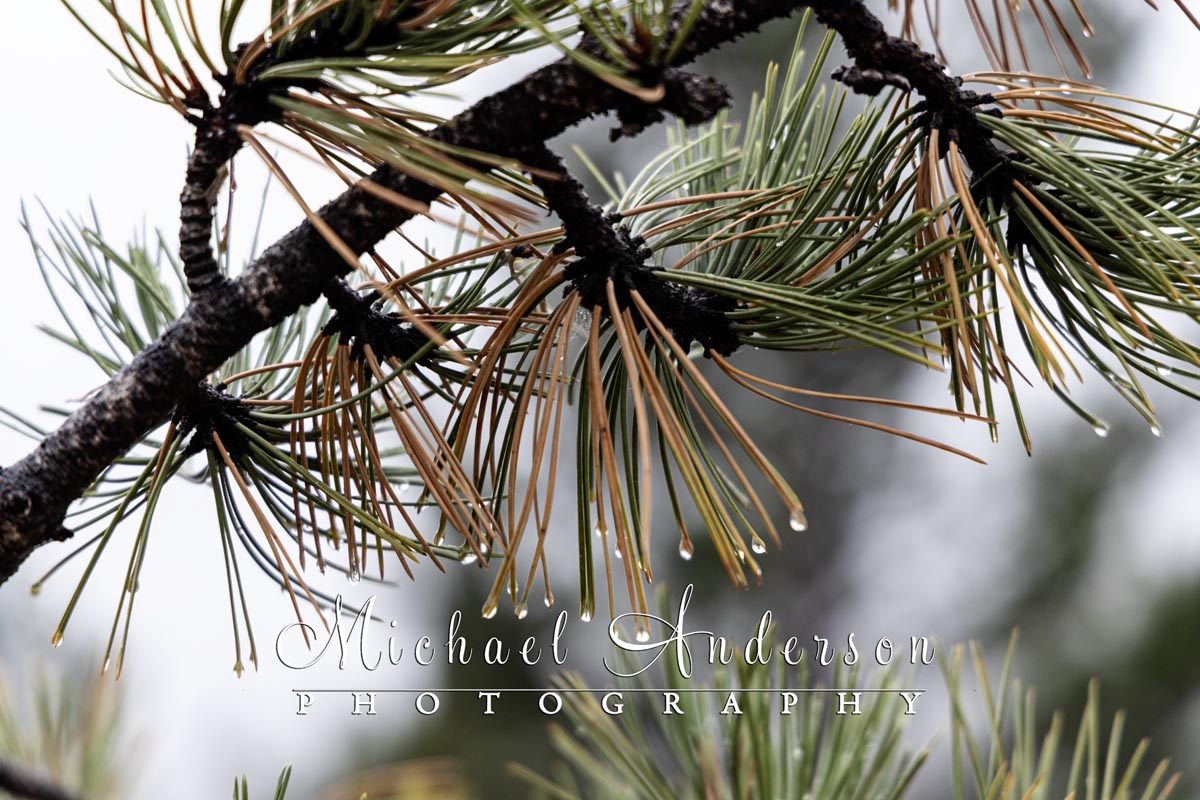
It was a pretty wet morning by Sylvan Lake, but it was also very peaceful and quiet.
We’ll close out our Custer State Park story with a few more photos, including a couple of pretty panoramic photos that I captured early on the morning we headed back home. I got up before sunrise to take one last look at Sylvan Lake before everyone else got up.
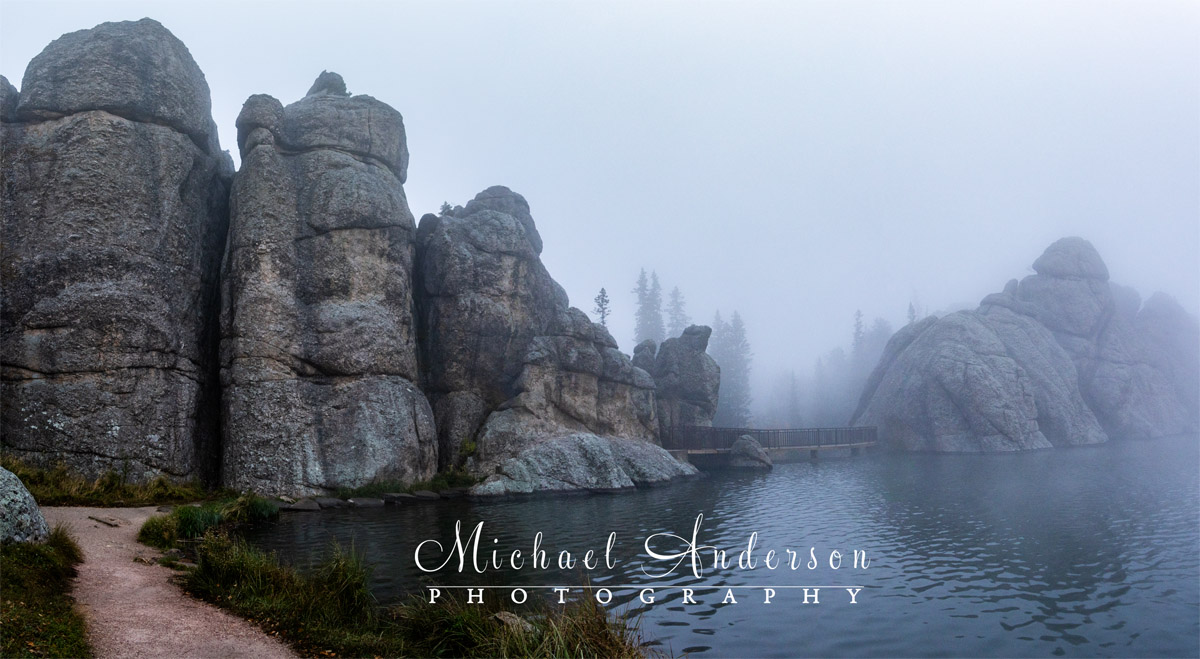
The foggy view of the Sunday Gulch Dam on Sylvan Lake.
I was greeted with heavy, dense fog. It was so heavy when I first arrived that I could barely see the lake – and it was right in front of me! After a little while, the fog started to burn off, and I was able to make some pretty images before breakfast.

Pretty fall colors in the foggy meadows around the Sylvan Lake Trail.
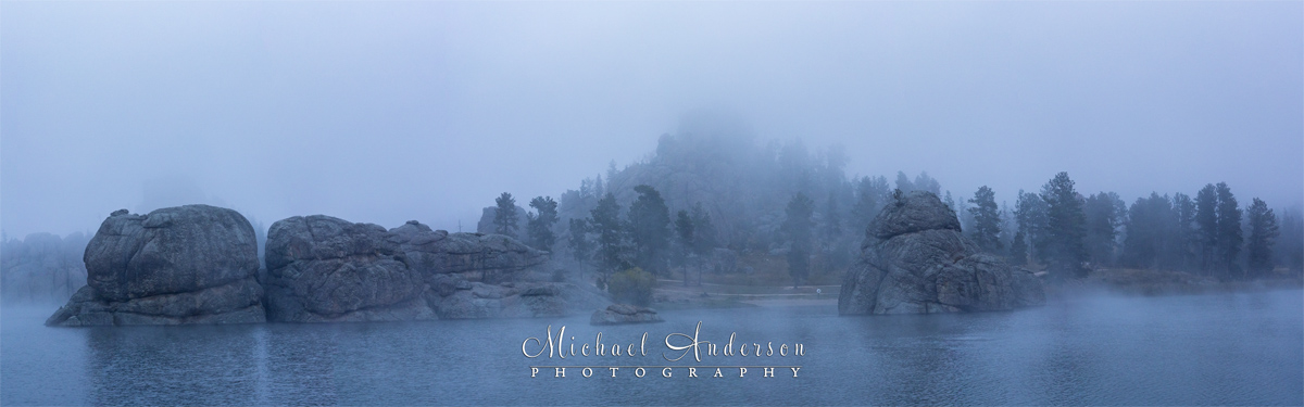
It was very early in the morning on our departure day, and I wanted to take one more look at Sylvan Lake before we hit the road for home. Dense fog greeted me as I took a stroll along the Sylvan Lake Trail. It was our final day there, and Mother Nature did not disappoint!
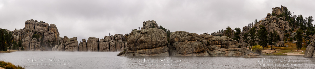
The dense fog that greeted me when I arrived had started to burn off, which allowed me to make this pretty panorama of beautiful Sylvan Lake. We left for home shortly after.
Custer State Park Photo Gallery
Thank you for taking the time out of your day to read about our travel experiences in Custer State Park. In the coming months, we’ll share more travel stories (with lots of photographs) from Badlands National Park, the Deadwood & Spearfish areas, Mount Rushmore National Monument, as well as Crazy Horse Monument. Please stay tuned.
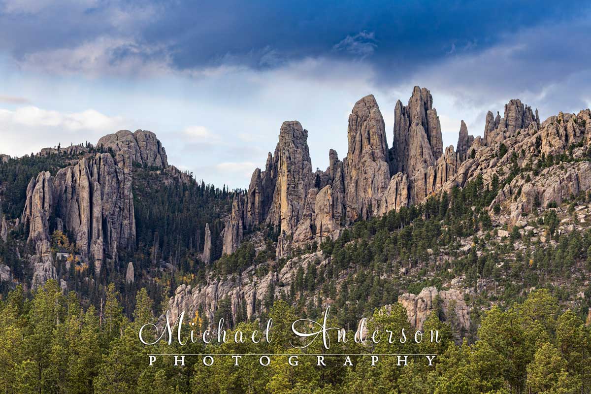
One go the many incredible landscapes found on The Needles Highway in Custer State Park!
We’ve created a pair of online galleries with our favorite images from Custer State Park. In addition to enjoying them, all images are also available for purchase directly from the individual galleries.
Because the land is just so spectacular, many of the images are high-definition panoramas that I stitched together in post-production. The panoramas are in a separate gallery, so you can crop them the way you prefer before purchasing.
Please contact us if you have any questions. We know you’ll enjoy them! The links below will take you there: